- Home
-
Motors
-
Motor Controls
- Power Supplies
-
Passive Components
- Back
- Capacitors
- Circuit Breakers
- Connectors
-
Resistor
- Back
- Metal Film Resistor
- Contactors
- Current Transformer
- DIP Switch
- Electronic Ballast
- Filters
- Float Valves
- Foot Switch
- Forward Reverse Switch
- Fuse
- Hook-Up Wire
- Indicator Light
- Isolator Switch
- Junction Box
- Joystick Switch
- Knife Switch
- LED Machine Light
- Laser Module
- Locking Plugs
- Low Noise Amplifiers
- Magnetic Starter
- Micro Switch
- Over Voltage Protector
- PV Combiner Box
-
Potentiometer
- Back
- Rotary Potentiometer
- Potential Transformer
- Pressure Switch
- Push Button
- Rectifier
- Relays
- RF Attenuators
- Rocker Switch
- Rotary Switch
- Surge Protection Devices
- Tact Switch
- Terminal Block
- Timer Switch
- Toggle Switch
- Transfer Switches
-
Sensors
- Back
- Accelerometer Sensor
- Angle Sensor
- Air Quality Sensor
- Color Sensor
- Compass Sensor
- Conductivity Sensor
- Current Sensor
- Dew Point Sensor
- Displacement Sensor
- Encoder
- Fiber Sensor
- Flow Switch
- Float Switch
- Gyroscope Sensor
-
Gas Sensor
- Back
- CO Sensor
- CO2 Sensor
- O2 Sensor
- IMU Sensor
- Inclinometer Sensor
- Ion Selective Electrode
- Load Cell
- Load Cell Transmitter
- Level Sensor
- Laser Sensor
- Limit Switch
- Light Curtain
- Label Sensor
- Magnetic Cylinder Sensor
- Noise Sensor
- Power Transducer
- Proximity Sensor
- pH Electrode
- Pressure Sensor
- PM Sensor
- Presence Sensor
- Photoelectric Sensor
- Radiation Sensor
- Reference Electrode
- Rain Sensor
- Signal Isolator
- Safety Switch
- Strain Gauge
- Speed Sensor
- Soil Moisture Sensor
- Temperature Sensor
- Temperature and Humidity Sensor
- Torque Sensor
- Ultrasonic Sensor
- Voltage Sensor
- Vibration Transmitters
- Water Leakage Sensor
- Water Quality Sensor
- Wind Sensor
-
Test & Measurement
- Back
- Anemometer
- Air Quality Monitor
- Clamp Meter
- Crane Scale
- Colorimeter
- Current Transformer Tester
- Conductivity Meter
- Digital Panel Meter
- Digital Counter
- Digital Readout
- Dew Point Meter
- Digital Inclinometer
- Digital Torque Adapters
- Density Meter
- Distance Meter
- Dynamometer
- Digital Tachometer
- Digital Indicator
- Dielectric Oil Tester
- Diameter Gauge
- Energy Meter
- Earth Resistance Tester
- Electronic Analytical Balance
- Electronic Load
- Electronic Compass
- Flow Meters
- Function Generator
- Force Gauge
- Feeler Gauges
- Gas Detectors
- Gloss Meter
- Gauss Meter
- Hipot Tester
- Hardness Tester
- Height Gauges
- Handheld Ultrasonic Homogenizer
- Infrared Thermometers
- Insulation Tester
- Linear Scale
- LCR Meter
- Laser Levels
- Lux Meter
- Land Meter
- Moisture Meter
- Multimeter
- Metal Detector
- Measuring Wheel
- Micrometers
- Measuring Tapes
- Nuclear Radiation Detector
- Network Cable Tester
- Oscilloscopes
- Optical Time Domain Reflectometer
- Oil Tank Gauge Tape
- pH Meter
- Paperless Recorder
- Pressure Gauge
- Particle Counter
- Power Meter
- Power Meter Plug
- Protractor
- Pipe Blockage Detector
- Particle Size Analyzer
- Relay Tester
- Refractometer
- Rebound Hammer
- Rebar Scanner
- Spectrophotometers
- Sound Level Meter
- Smoke Detector
- Solar Power Meter
- Surface Roughness Tester
- Signal Generator
- Stud Finder
- Temperature Controller
- Temperature Data Logger
- Thickness Gauge
- Tension Meters
- Turbidity Meter
- USB Tester
- Viscometer
- Vibration Meter
- Vernier Caliper
- Volt Amp Meter
- Water Quality Tester
- Water Leakage Detectors
- Weighing Indicator
-
Transmission & Actuator
- Back
- Air Filters
- Air Hose Fittings
- Angle Seat Valves
- Ball Valves
- Bearings
- Brakes and Clutches
- Butterfly Valves
- Check Valves
- Control Valves
- Diaphragm Valves
- Door Opener
- Drag Chain
- Expansion Joints
- Filling Valve
- FRL Unit
- Gate Valves
- Gearbox
- Globe Valves
- Hand Valves
- Hydraulic Accumulators
- Hydraulic Actuator
- Hydraulic Cylinders
- Linear Actuators
- Linear Rail
- Linear Slide
- Needle Valves
- Pinch Valves
- Plug Valves
- Plunger Valves
- Pneumatic Cylinders
- Pneumatic Foot Pedal
- Pressure Regulator
- Pressure Relief Valves
- Pulse Valves
- Quick Connector
- Quick Exhaust Valves
- Shaft Coupling
- Shuttle Valves
- Slip Ring
- Solenoid Valves
- Steam Traps
- Strainers
- Torque Limiters
- Universal Couplings
- Vacuum Generator
- Valve Actuators
- Vent Plug
-
Pumps
- Back
- Aerator Pump
- Booster Pump
- Bilge Pump
- Centrifugal Pump
- Dosing Pump
- Diaphragm Pump
- Fire Pump
- Gear Pump
- Hydraulic Pump
- Hot Oil Pump
- Lobe Pump
- Lubrication Pump
- Magnetic Drive Pump
- Mud Pump
- Peristaltic Pump
- Piston Pump
- Pool Pump
- Rotary Hand Pump
- Screw Pump
- Self Priming Pump
- Sewage Pump
- Sliding Vane Pump
- Vacuum Pump
- Well Pump
- Wing Pump
-
Tools
- Back
- Alarm & Siren
- Beam Trolley
- Beam Clamp
- Blower
- Centrifuge Machine
- Circular Saws
- Cable Cutter
- Crimping Tool
- DC Cooling Fan
- Desoldering Tool
- Endoscope
- Electric Pressure Washer
- Foam Cutter
- Flange Spreader
- Flashlight
- Generator
- Glass Lined Reactor
- Heat Exchanger
- Hydraulic Punch
- Hoist
- Heat Gun
- Hydraulic Puller
- Hydrothermal Synthesis Reactor
- Impact Wrenches
- Inkjet Printer
- Jack
- Lifting Hook
- Labour Protection Appliance
- Magnetic Stirrer
- Magnetic Sweepers
- Portable LED Work Light
- Pipettes
- Pneumatic Screw Driver
- Plate Clamp
- Pneumatic Drill
- Pipe Bender
- Rubber Sheets
- Reciprocating Saw
- Rebar Tool
- Rotary Evaporator
- Sander
- Screw Feeder
- Soldering Tool
- Safety Mat
- Snatch Block
- Spring Balancer
- Strapping Tool
- Wire Stripper
- Winch
-
Communication & Controller
-
Industrial Equipment
- Back
- Air Compressors
- Chamfering Machines
- CNC Router Machine
- Dryer
- Dehumidifier
- Fume Extractor
- Fan Heater
- Industrial Cameras
- Industrial Vacuum Cleaner
-
Laser Machines
- Back
- Laser Marker
- Oil Mist Eliminators
- SCARA Robot
- Static Eliminator
- Steam Autoclave Sterilizer
- Tool Setter
- Ultrasonic Cleaner
- Water Chiller
- Welding Machine
- Water Purification System
- Technical Support
- How To Buy
- Contact
- Chat
- ATO /
- Test & Measurement /
- Land Meter
Land Meter
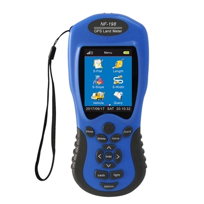
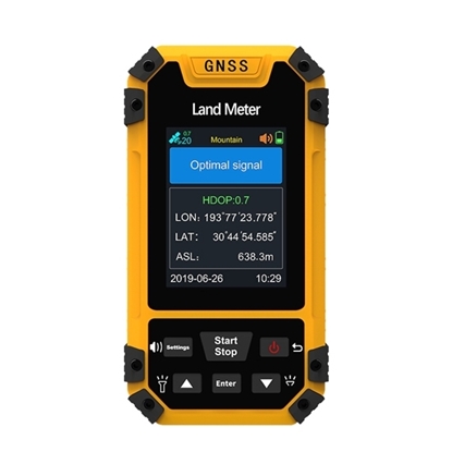
GPS Land Meter for Area Measurement
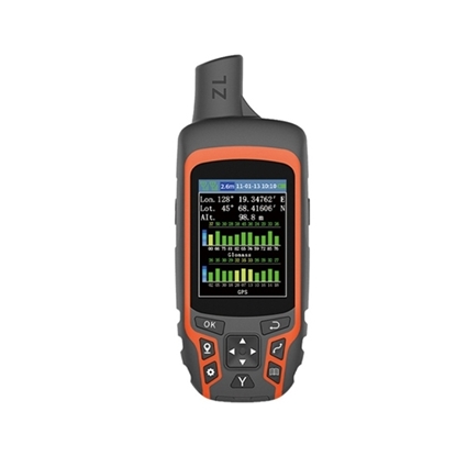
GPS Land Meter for for Land Surveying
GPS Land Meter with Distance Measurement, Figure Track
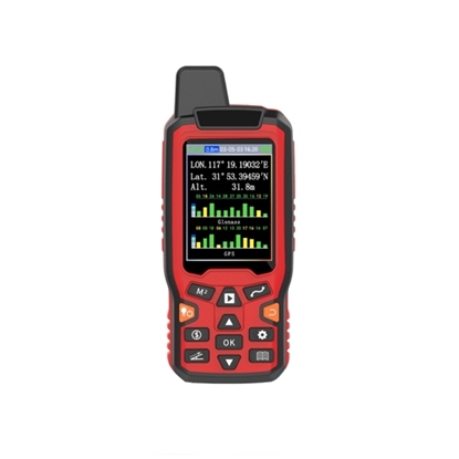
GPS Land Meter, Dual Satellite Positioning
GPS GNSS Land Meter for Land Surveying
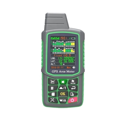
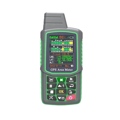
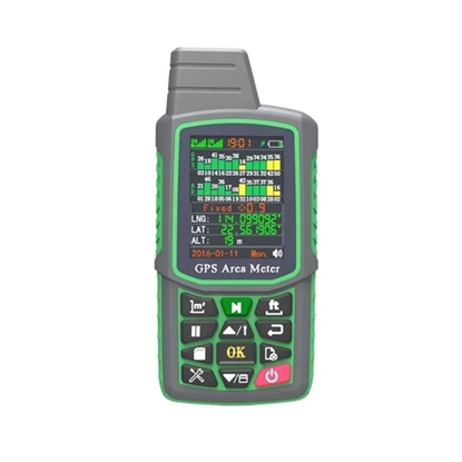
GPS Land Area Meter
Handheld Land Meter, BDS/GPS/GLONASS
Land meters are commonly used by surveyors, architects, and engineers to gather accurate information about a property. They can be used to determine the exact location of property lines, the area of a lot, and the distance between buildings. This information is important for creating maps, designing buildings, and planning construction projects. It accurately measures the distance between two points on the ground and is an indispensable tool for planning, construction, and land use projects. The land meter accurately measures the distance between two points on the ground and is an indispensable tool for planning, building, and land use projects. ATO land meter is easy to use, lightweight and portable, making it the perfect choice for professionals in the field.
- +1 800-585-1519 (Toll-free)
- sales(at)ato.com
- Global Shipping

